
|
|
|
|
|
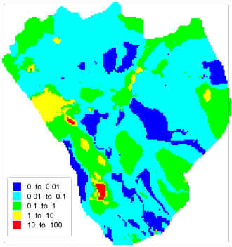
RECENT RESEARCH ACCOMPLISHMENTS 2. How can sensitivity analysis and nonlinear regression best be combined with hydrogeologic data to constrain models of ground-water systems, thus increasing likely model accuracy? How can model uncertainty best be quantified and what purposes can uncertainty methods serve? There has been substantial progress in developing methods of sensitivity analysis, nonlinear regression and uncertainty evaluation in recent years. Even with intimate understanding of the methods and underlying theory, though, how to use these and associated methods of uncertainty analysis most advantageously in typical problems often is not clear. Guidelines explaining common problems and solutions within the context of model calibration clearly are needed to improve ground-water-model development, and, ultimately, promote the wise use of ground-water resources nationally and internationally. Further, such guidelines are important to the calibration of any model of similar complexity; for example, those involving chemical and biological interactions. I developed a set of such guidelines and published a preliminary version illustrated with simple field and test cases (Anderman and others, 1996; Poeter and Hill, 1996, 1997), using a complex synthetic test case to test them (Hill and others, 1998), and finally in a more complete and mature form (Hill, 1998; Hill and others, 1999, 2000). An example of how these guidelines can be used productively is described for a model of the Death Valley regional saturated ground-water system, which underlies the proposed high-level nuclear-waste disposal site at Yucca Mountain, Nevada (D’Agnese and others, 1996, 1997, 1999, 2000), and in the simulation of a Danish groundwater system (Barlebo and others, 1998). A recent advance related to uncertainty methods is using them to identify important observation locations in the context of predictions (Ely and others, 2000; Hill and others, 2000, http://water.usgs.gov/pubs/wri/wri004282/). A way to formally link observations and predictions was not previously available, so this advance fills an important gap. The following figure was developed using the new method.
mchill@usgs.gov Last Modified: April 14, 2008 |