
Computer Modeling & Development
GSTL staff develops software for modeling flow, sediment transport, and bed evolution in a wide variety of situations. Modeling techniques range from relatively simple 1-D or 2-D vertically averaged steady flow models to direct numerical simulation models based on the Navier-Stokes equations. Some GSTL models are freely distributed within the Multi-dimensional Surface Water Modeling System (MD_SWMS). This interface can be downloaded here. GSTL has a state-of the-art PC-based network on site as well as access to government supercomputing facilities off site.
Current Modeling Projects
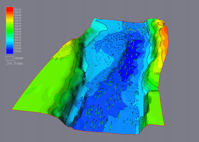
Animation of streaklines for modeled flow in Carbon Eddy in the Colorado River in the Grand Canyon.